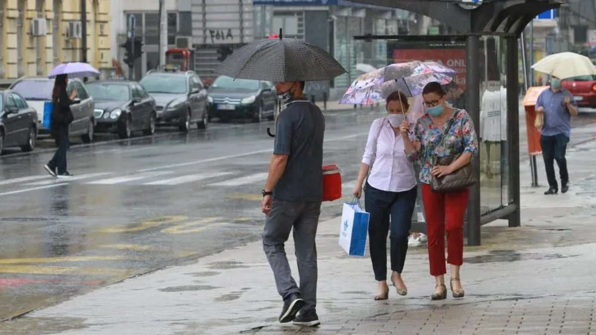
Serbia weather: heat until Wednesday, then a cold front
After several muggy days, Serbia's weather service expects a turn midweek, with a cold front from Thursday bringing thunderstorms and a six to eight degree drop.

- Heat and humidity hold through Wednesday, with daytime highs of 30 to 33C and up to 32C in Belgrade.
- The turn begins on Wednesday, 11 June, with first showers reaching the hilly and mountainous south and east.
- Thursday brings the first drop, six to eight degrees cooler, with thunderstorms and rainfall of around 10 millimetres.
- By Friday, 12 June, highs fall to just 18 to 22C, closing out the warm spell.
Fan or umbrella this week? You will want both, just not at the same time. Serbia’s Hydrometeorological Service says the muggy heat lingers until Wednesday, and after that the weather flips entirely.
For now the warm spell is in charge. Tuesday, 9 June, looks mostly sunny, hot and humid, with daytime highs of 30 to 33C. Belgrade can expect a sticky afternoon reaching 32C at the hottest point of the day. That calls for shade, plenty of water and light clothing, because the humidity makes those 32 degrees feel even warmer.
What does the cold front bring from Thursday?
The shift starts on Wednesday, 10 June. Rain first reaches the hilly and mountainous areas of the south and east before spreading more widely. That is the classic pattern when a cold front moves in from the west: it hits the higher ground first and only later sinks toward the plains.
On Thursday, 11 June, the temperature drops for the first time. The service says it will be six to eight degrees cooler, with unsettled weather, showers and thunderstorms. Rainfall will be heaviest from Thursday onward, reaching around 10 millimetres across much of the country. That is not a huge total on its own, but short, intense downpours with thunder can snarl traffic and flood underpasses within minutes.
Friday, 12 June, brings a sharper cooldown. Highs slide to just 18 to 22C, almost a chilly day compared with the start of the week. That closes the warm spell that had been sitting over the region.
How can you prepare for this turn in the weather?
You do not need much, just a little planning ahead. Here are some practical steps before the front arrives.
If you are planning a day out, a barbecue or anything outdoors, fit it in on Tuesday or Wednesday morning while it is still dry. From Thursday, count on rain and thunder, so move anything tied to open air earlier.
Check your gutters and balcony. Downpours of up to 10 millimetres in a short stretch mean the water has to go somewhere, and a blocked gutter is the most common cause of leaks. Five minutes of checking now saves a lot of trouble later.
Lay out a light jacket or hoodie for Friday. A drop to 18 to 22C after a day of 33C hits hard, especially in the evening. Children and older family members feel the change first, so keep something warm within reach for them.
Drivers, take care from Thursday. The first downpour after dry days lifts oil off the asphalt and the road turns slick. Slow down and leave extra space, particularly on stretches where water pools.
This turn is nothing unusual for June in Serbia, the swing between heat and relief is part of the season. The good news is that after Friday the air becomes far more pleasant for sleeping and spending time outside.
And you, do you prefer this kind of heat or cooler days with showers? Tell us in the comments how you are handling this change in the weather.